Ohio
A restored Ohio valley where river, canal, railroad, and sandstone landscapes converge.
Cuyahoga Valley National Park preserves a green corridor of river, forest, and working farmland between Cleveland and Akron, where transportation history and recovering landscapes share the same valley floor.
The valley’s historical arc began long before federal designation. In the early 19th century, the construction of the Ohio & Erie Canal transformed the Cuyahoga River corridor into a commercial artery linking Lake Erie with the Ohio River. Stone locks, aqueducts, and towpaths reshaped the floodplain, encouraging the rise of mills, quarries, and agricultural settlements. Communities such as Peninsula emerged as service centers along the canal, their orientation fixed to the rhythm of boat traffic and mule teams.
By the late 19th century, railroads paralleled and gradually supplanted the canal. Steel rails carried coal, grain, and manufactured goods between the industrial centers of Cleveland and Akron, reinforcing the valley’s role as a transportation conduit. The river itself, however, bore the burden of that industrialization. By the mid-20th century, pollution had rendered stretches of the Cuyahoga severely degraded, culminating in the widely publicized fires of the 1960s that became emblematic of national environmental decline.
Congress responded in 1974 by establishing the Cuyahoga Valley National Recreation Area, seeking to protect the corridor from fragmentation and to initiate long-term restoration. Federal acquisition stabilized farmland and historic structures while reclamation projects addressed contaminated sites and damaged wetlands. The redesignation as a national park in 2000 recognized not wilderness in the traditional sense, but the preservation of a cultural landscape shaped by engineering, agriculture, and industry—and by its subsequent recovery.
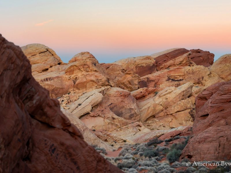
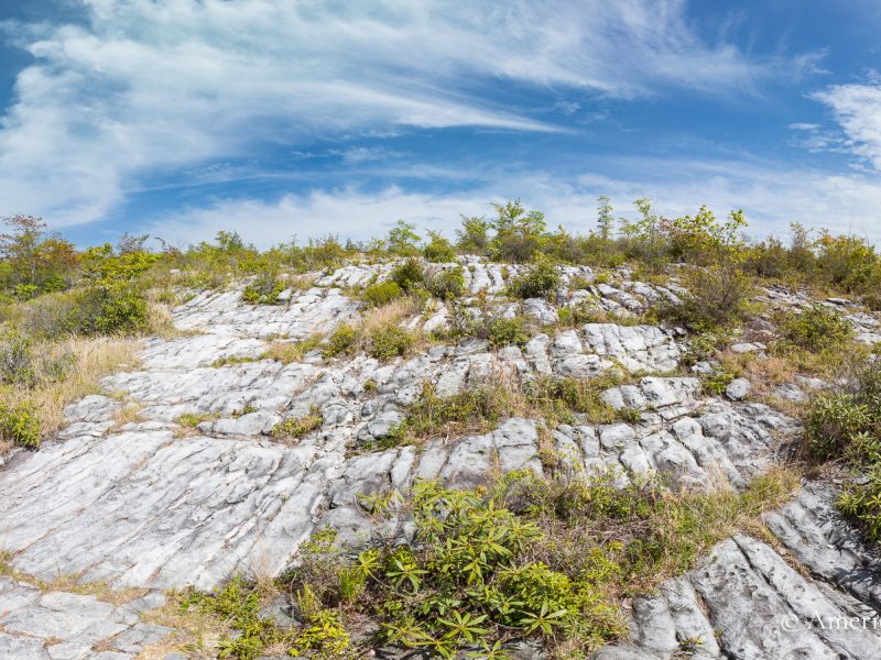
Geologically, the valley reflects far older forces. Glacial ice sculpted the broad trough through which the Cuyahoga now flows northward—a directional anomaly among Ohio rivers. Retreating ice left behind a layered terrain of sandstone, shale, and glacial deposits that define the park’s topography. Berea Sandstone, quarried extensively in the nineteenth century, forms the resistant caprock visible at waterfalls and cliff lines.
Brandywine Falls descends sixty-five feet over this sandstone into a narrow gorge, where erosion has undercut the cliff face and carved recesses behind the falling water. Elsewhere, the Ledges expose weathered rock formations that rise in irregular walls and narrow passages, their surfaces textured by centuries of freeze-thaw cycles. These outcrops frame views across hardwood forest and reveal the structural foundation of the valley.
The Cuyahoga River itself continues to shape the landscape. It winds in pronounced bends across the floodplain, depositing sediment in wetlands such as Beaver Marsh and cutting shallow terraces along its banks. Seasonal change heightens these features: spring runoff swells the falls and streams; autumn light settles across sandstone and canopy; winter clarifies the valley’s contours, reducing it to rock, water, and line.
In this measured terrain, geology and history remain inseparable. Canal alignments follow the river’s grade; rail lines trace the valley floor; trails now occupy former transportation corridors. Cuyahoga Valley National Park stands not as remote wilderness, but as a restored and enduring landscape where glacial form, industrial ambition, and ecological renewal converge within a compact and accessible corridor of northeastern Ohio.
The trail system at Cuyahoga Valley National Park extends for more than 125 miles and reflects the valley’s layered landscape of river, canal, forest, and farmland. The Ohio & Erie Canal Towpath Trail forms the park’s primary spine, following the historic canal alignment for approximately 20 miles within the park boundary. Its relatively level grade accommodates walking, cycling, and seasonal cross-country skiing, linking canal locks, restored structures, and small communities such as Peninsula. Spur trails branch from the Towpath into wooded ravines and upland overlooks.
Other routes provide varied terrain and geological context. The Ledges Trail traverses sandstone outcrops and offers elevated views across the valley, while the Brandywine Gorge Trail descends to the base of Brandywine Falls along a combination of boardwalk and graded path. Portions of the Buckeye Trail pass through the park, connecting it to a larger statewide hiking network.
📷 Best viewpoint: Lower observation platform.
Current conditions near Brecksville, Ohio.