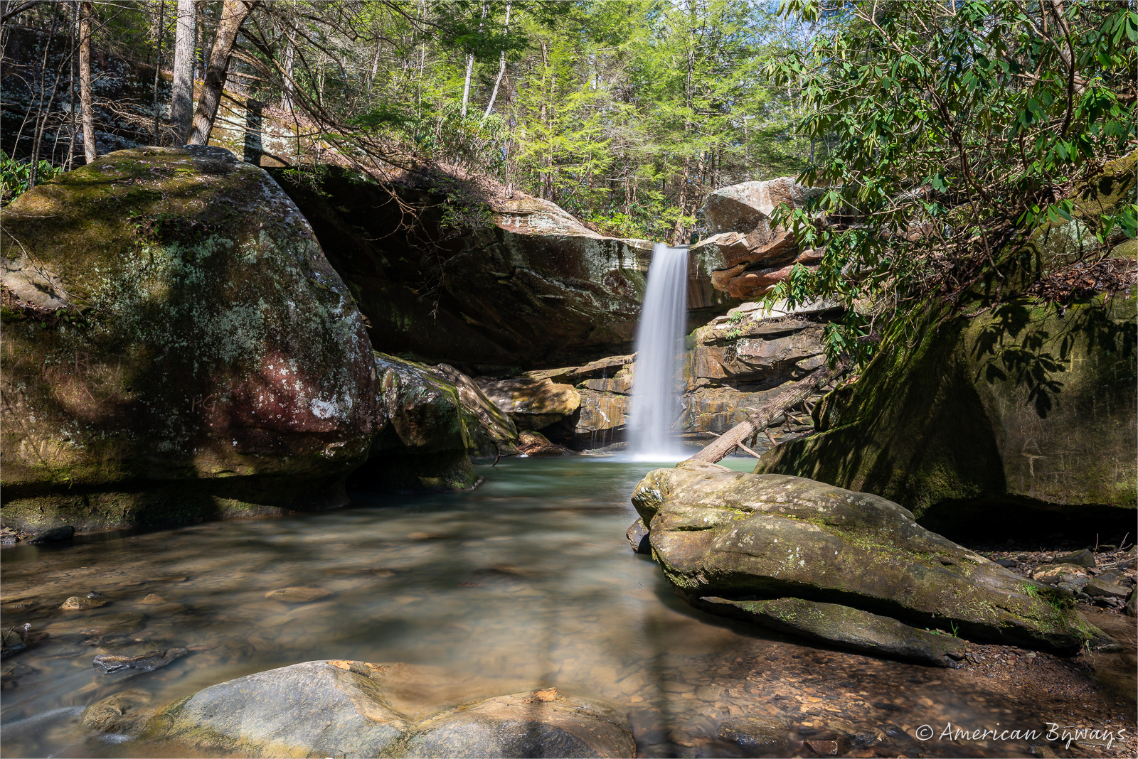
Kentucky is a land of arches – but Pharaoh’s Tomb in Laurel County, Kentucky, is not one of them.
Kentucky boasts a significant number of arches, as documented by the Kentucky Arches database, which registers over 2,700 arches.
The formation of most arches and bridges in the region is attributed to two erosive forces – weather and water. When cracks develop in the soft layers of a sandstone fin, wind infiltration occurs, allowing sand to widen the cracks. Acidic rain further weakens the rock within these cracks. Subsequently, the cycles of freezing and thawing contribute to the breakage of fractured rock sections. Over time, the repetitive interaction of wind, ice, and rain culminates in the creation of an arch. Water erosion, on the other hand, primarily relies on the action of running water to form arches and bridges. Streams and rivers may eventually carve through a sandstone fin or acidic rainwater may collect in depressions, giving rise to an arch from above.
However, certain formations, such as Pharaoh’s Tomb in Laurel County, Kentucky, are categorized as false arches. In this instance, a cliff separation has resulted in a nearly square passage measuring 20 feet in width and 20 feet in height.
Pharoah’s Tomb is located along KY Route 192 east for a half-mile from the Bee Rock Recreational Area. There is no formal trail to Pharoah’s Tomb.


