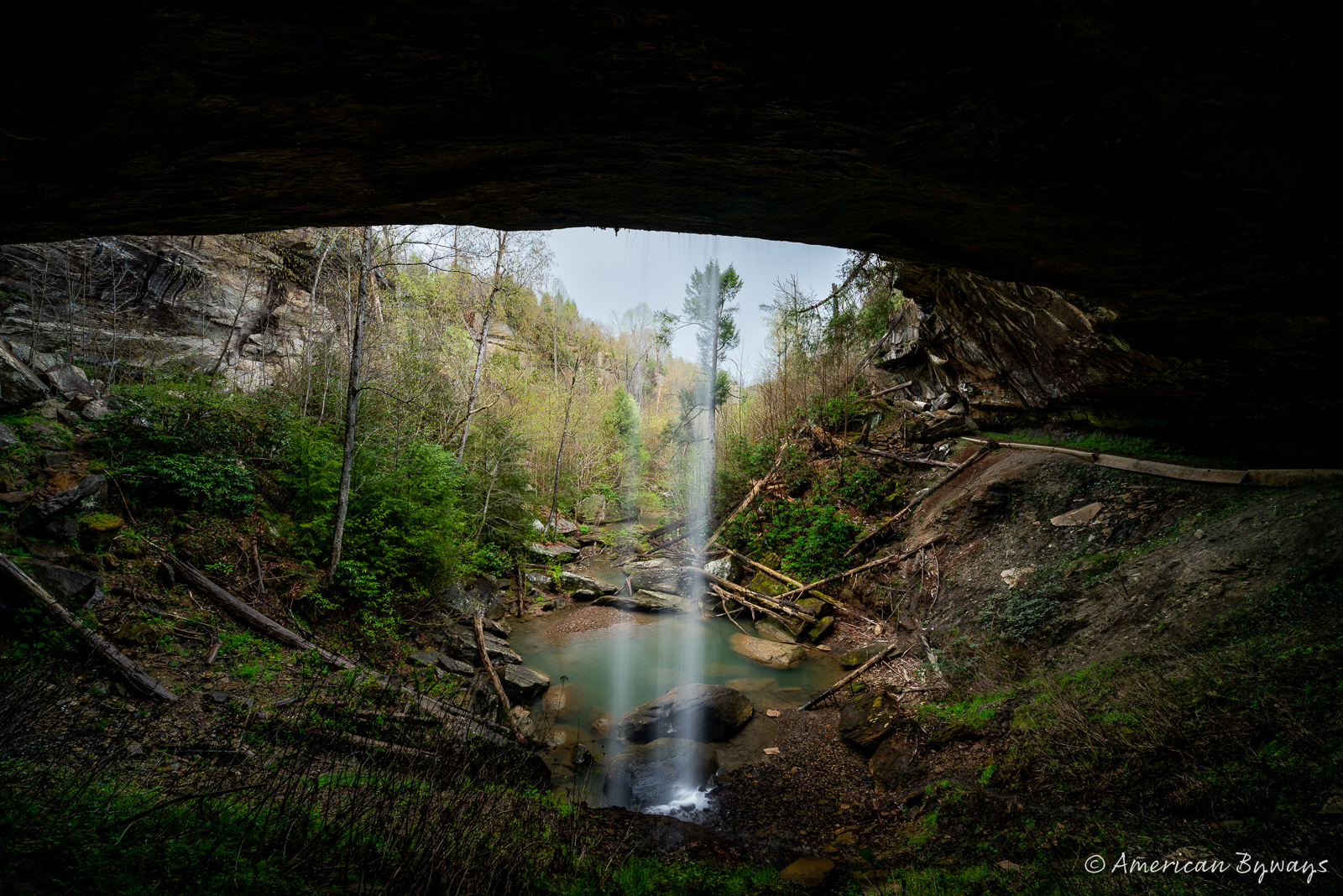
Revisiting Two Eastern Kentucky Railroads
I visited two former Chesapeake & Ohio Railroad branch lines in eastern Kentucky that have been transformed into rail trails on a pleasant spring afternoon.
I visited two former Chesapeake & Ohio Railroad branch lines in eastern Kentucky that have been transformed into rail trails on a pleasant spring afternoon. Although converting a railroad into a trail may seem simple, it involves a complicated process overseen by the Surface Transportation Board. The rail line must be explicitly abandoned, and in both cases, there had been no train traffic for over a decade and no plans for any in the future.
The Dawkins Subdivision of the Chesapeake & Ohio was originally called the Big Sandy & Kentucky River Railroad, built in 1912 by the Dawkins Lumber Company to access their timberlands with a 31-mile track. The first section from West Van Lear and Riceville was completed in 1913, and an extension to Carver opened in 1921. One of the major achievements of the line was the construction of the Ivyton/Gun Creek Tunnel, which was 662 feet long.


However, the Great Depression led to the railroad’s bankruptcy, and it was acquired by the Chesapeake & Ohio in 1930. A 15-mile extension into Breathitt County began in 1948 and was completed in 1951. This expansion involved the construction of the Carver/Tiptop Tunnel, which was a massive 1,555 feet long.


In 1940, the Dawkins Subdivision only serviced two coal mines and produced less than 400 cars per month. But by 1953, seven active mines were using the line, producing more than 2,000 cars monthly. Most of the coal came from the No. 3 Elkhorn mine in Vail and the Skyline Preparation Plant near Evanston, which strip-mined from nearby mountains.
Over the years, some mines closed down, and others started trucking their coal to docks along the Big Sandy River near Catlettsburg. Unit coal train service became more popular, and smaller rail operators couldn’t compete. As a result, the number of loading points in the Big Sandy District of CSXT (Chesapeake & Ohio’s successor) decreased from 80 in 1983 to just 30 in 1993.
By 2000, the Dawkins Subdivision needed repairs, and the line was mothballed by CSXT. There wasn’t enough traffic to justify the cost. The R.J. Corman Company took over operations in 2002 and operated the line for a year before shutting it again in 2003. The company filed to abandon the Dawkins Subdivision in 2004.
The branch line was railbanked by the Kentucky Rails to Trails Council in the event that it could be converted into a rail trail. With funding from the Kentucky Transportation Cabinet, the General Assembly, and coal severance funds, the first 18 miles of the Dawkins Line Rail Trail opened in June 2013. As of 2023, the trail was 36 miles long, extending from Evanston in Breathitt County to Hagerhill in Johnson County. The only incomplete section of the trail is the Tip Top Tunnel.


Nearby, the Middle Creek Subdivision is a former railway line operated by the Chesapeake & Ohio. It’s less than 10 miles long and was built in 1940-42 to serve two coal mines owned by the Princess Elkhorn Coal Company. The coal company also created a town called David, which included a company store, school, church, and other amenities. After the mines closed in the late 1960s, the town fell into disrepair but was later bought by its residents, who secured funding for new infrastructure.
The branch line was later controlled by CSXT but became inactive around 1992 beyond Prestonsburg when the last coal mines closed.
In 2006, Appalachian Fuels leased the unused portion of the line and planned to reopen the Beverly Ann tipple. By 2007, the tipple was owned by Frasure Creek Mining, whose surface mining operations became the state’s largest coal producer. However, the company was later accused of violating environmental regulations, including falsifying pollution discharge data, and after a legal battle, it agreed to pay a fine and abide by new guidelines. Following the settlement, if Frasure Creek mining company or any of its owners, including Trinity Coal, New Trinity Coal, and ICG, wanted to apply for new permits, a fine of $2.75 million had to be paid.
In 2015, CSX filed a notice of exemption to abandon the entire Middle Creek Subdivision, as the line had not seen any activity since Frasure Creek Mining ceased operations. Prestonsburg’s mayor requested that the rail bed be preserved as a trail for recreational tourism, and in August 2020, the Prestonsburg Passage Rail Trail was opened, connecting Prestonsburg, the Middle Creek National Battlefield, and David.


Some people have concerns about the idea of rail trails. They worry that having recreational paths will lead to more crime, but no reliable evidence supports this. Others think that these trails are unfair to people who have mobility impairments or who want to use all-terrain vehicles (ATVs) or utility-task vehicles (UTVs), but rail trails are specifically designed for safe exercise without motorized vehicles.
People might argue that we should keep the rail lines for shipping or tourism, but the reality is that these branches weren’t profitable and hadn’t carried revenue traffic for years. Plus, there’s no indication that they would attract significant traffic in the future. Tourism operations are also usually unprofitable due to insurance and regulations.
Given these factors, the best option is to convert the rail lines into trails people can use. These pathways provide numerous benefits to communities, including increased outdoor recreation and physical activity opportunities, improved transportation options, and economic benefits through increased tourism and local business development. Rail trails can also provide important connections between neighborhoods, parks, and other community resources and serve as a valuable educational resource for learning about local history and ecology. Additionally, rail trails can have positive environmental impacts by providing habitat for wildlife, reducing carbon emissions by promoting active transportation, and preserving open space and green corridors in urban and suburban areas.
Discover more from American Byways
Subscribe to get the latest posts sent to your email.