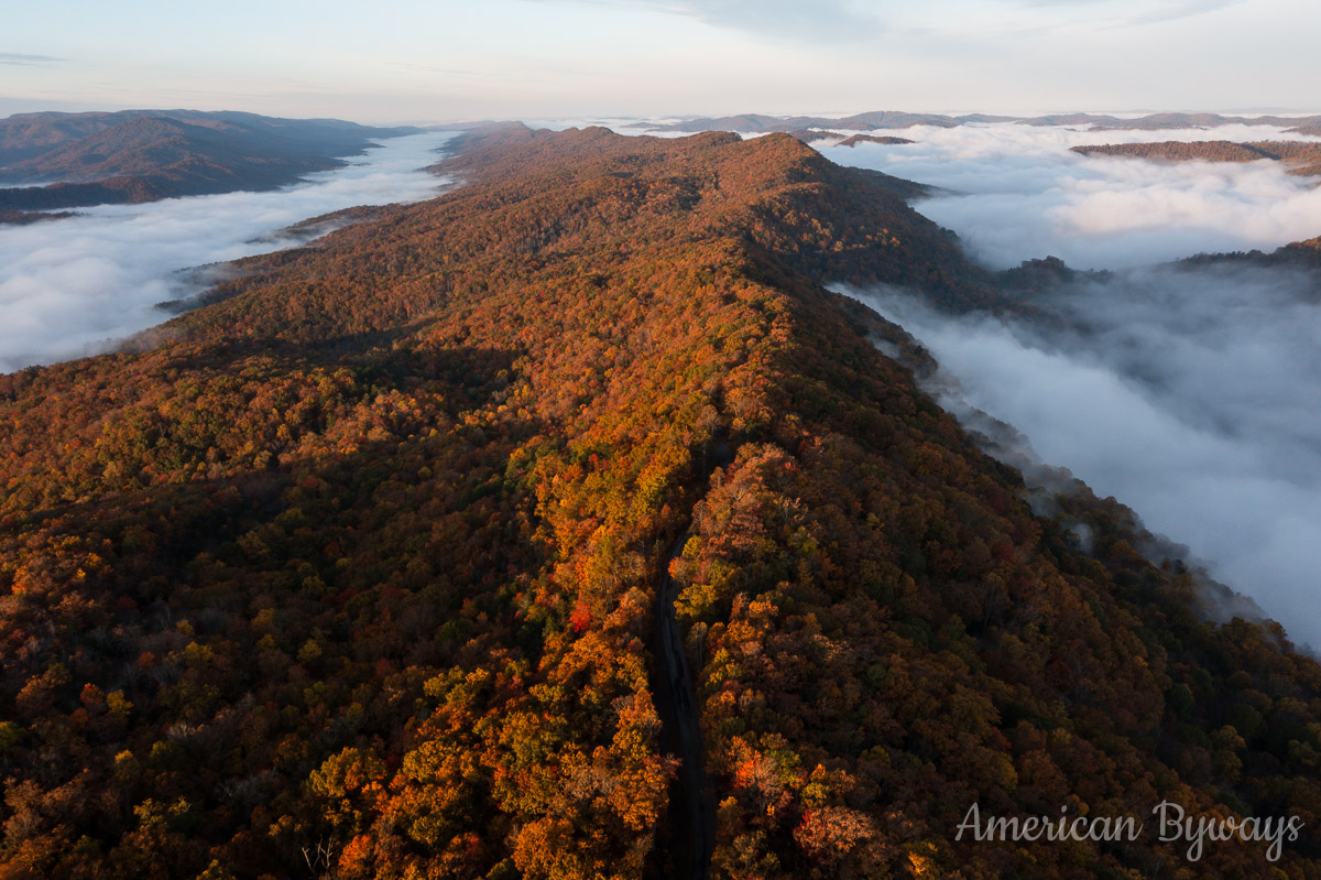
Late Autumn Show in Southern Kentucky
Autumn might have come late to southern Kentucky but nature made up for it with one of the most brilliant shows of color in recent memory.
I began my week-long journey at Cumberland Falls State Resort Park located deep in the Appalachian foothills. It features at its centerpiece the wide and raging Cumberland Falls which is often referred to as the “Niagara of the South” due to its water flow. It is also the only place in North America, and one of two in the world, where you can regularly see a moonbow—a rainbow at night, which is only visible with clear skies and a full moon. There are 25 miles of trails that connect to waterfalls, overlooks, and fire towers, a 45-minute guided horseback ride through the Appalachian forest, and whitewater rafting.
For my morning visit, I was greeted with a cornucopia of colors that were seemingly bound to every leafed tree. The muddy river was raging as it had rained the night and the chocolate-hued waters were complimentary to the forests surrounding it.


Only a half-hour drive west is the Natural Arch Scenic Area, a relatively hidden Kentucky gem. At its centerpiece is Natural Arch, a massive 100-foot-wide, 45-foot-high sandstone arch that is one of the largest in the state. Considered sacred to the Cherokee Native American tribe, the arch has been protected by a fence built of red cedar—a tree honored by the Cherokee. Flying atop the arch, you could barely tell that the surrounding forests had been damaged by severe winter ice storms in 1994 and 1998 and by more recent intrusions by the southern pine beetle.
While many may opt to visit the more famous Natural Bridge at Natural Bridge State Resort Park, you can beat the crowds by trekking down to the equally massive Natural Arch!


The day ended at and near the historic mining community of Blue Heron along Big South Fork Cumberland River. Once an integral part of the Stearns Coal and Lumber Company, Blue Heron was “re-created” in the 1980s and is a part of the Big South Fork National River and Recreation Area, offering interpretative exhibits on past operations and acting as a trailhead for the multitude of trails that split off in all directions.


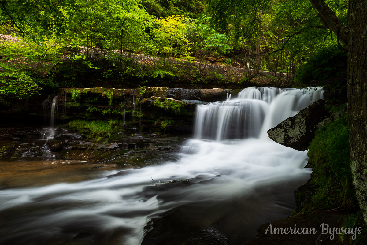
With the last light of the evening slowly fading to black, I hurried over to photograph the cascades along Roaring Paunch Creek where the clear blue-green waters greatly contrasted the muddy and brown Cumberland River.


The last photos taken just at sunset were of these sheer sandstone bluffs at the juncture of Roaring Paunch Creek with the Big South Fork Cumberland River. The Big South Fork area lies within the Cumberland Plateau and is comprised mostly of sandstone and shale. Weathering over millions of years has formed countless arches, mesas, rock shelters, and millions of years of water flow have formed narrow gorges. Together, they provide a portrait of an ever-changing landscape.


Discover more from American Byways
Subscribe to get the latest posts sent to your email.